


By Larson McDonagh
Taking the next step in its ongoing efforts to improve mobility by “coding its curbs,” the Los Angeles Department of Transportation (LADOT) is working with the design consulting firm Arcadis and its CurbIQ curb-management solution to create a digital inventory of curb uses within a large section of downtown L.A.
The LADOT partnered with CurbIQ in August to improve planning and operational curbside management through open-source data collection. The partnership is the next phase in the city’s plan to improve downtown mobility through data collection.
Code the curb
In 2023, LADOT received $2 million for its curbside data collection effort, known as the Code the Curb project, from the U.S. Department of Transportation’s Strengthening Mobility and Revolutionizing Transportation (SMART) Grant Program. SMART grants incentivize cities to improve transportation efficiency and safety through technological advancements.
“LADOT’s successful application proposed the development of a digital inventory of curbside assets” in downtown Los Angeles, said Colin Sweeney, the public information director for the department.
With the funding, the city developed a digital map that displays zoning for different aspects of transportation and curb management along more than 200 curb miles in downtown Los Angeles. “Downtown LA was chosen for its diverse range of industries, stakeholders, and varied curb typologies,” Sweeney said. “It is also home to the Crypto.com arena, which allows us to model what curb management looks like for large-scale events.”
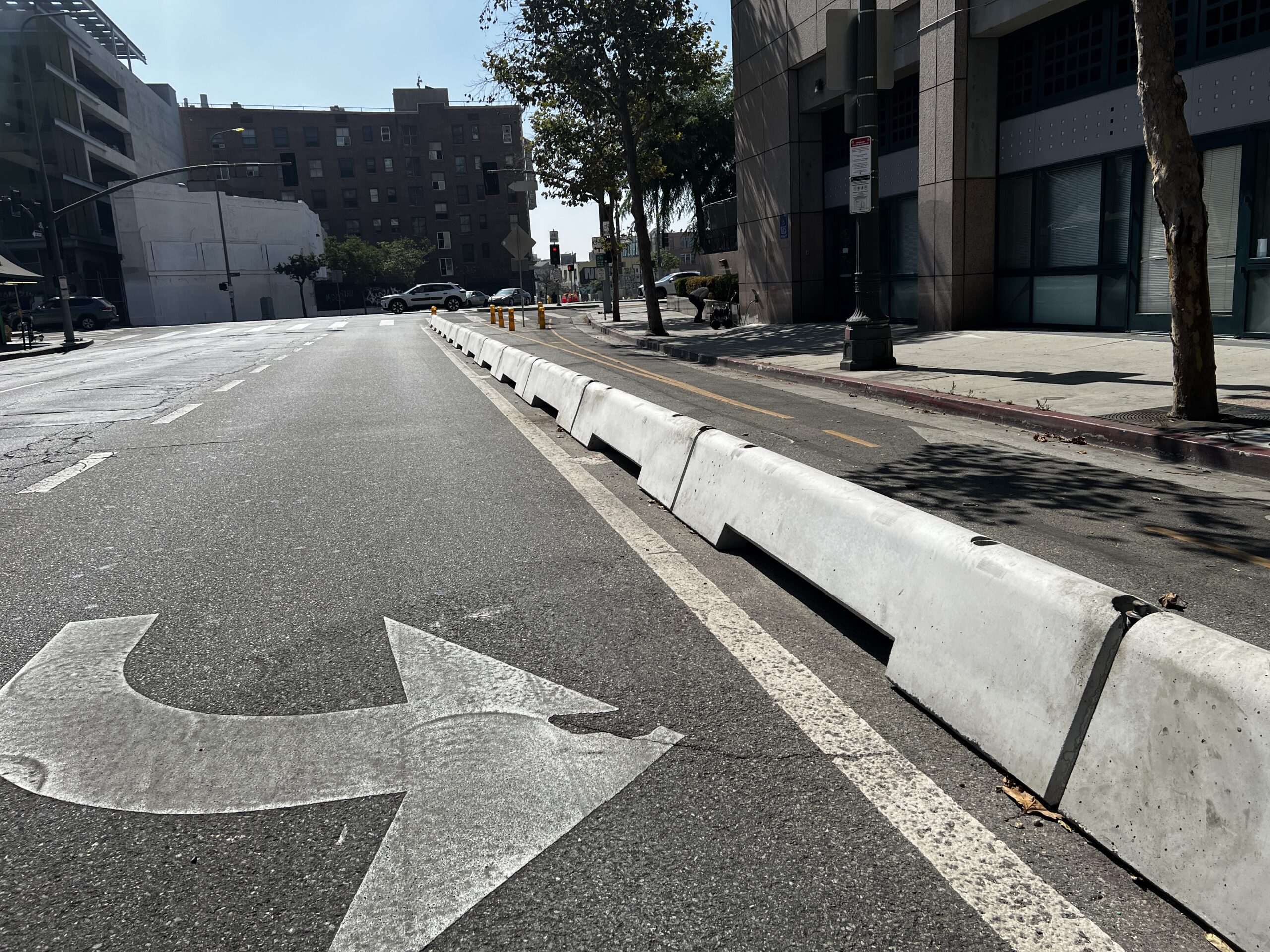
Known as Code the Curb, the original map detailed the static curb landscape within the selected area of downtown L.A. Detailing curb uses from bicycle routes to loading zones, the map data helps people traverse downtown safely and efficiently, Sweeney said.

Standardizing digitized, data-driven transportation
For the next phase of Code the Curb, LADOT will use CurbIQ to analyze curb activity, enabling the city to compare current and historical curb formats and propose and implement changes to curb infrastructure to best suit how the public utilizes the space.
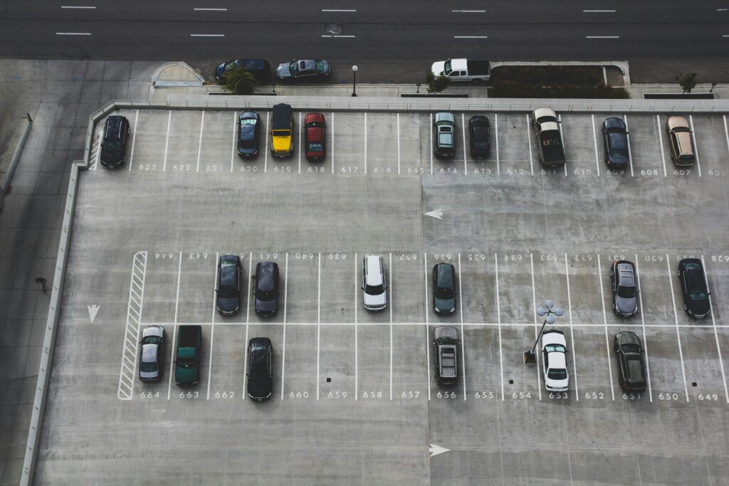
CurbIQ enables cities to view curbside regulations and real-time data about curbside use via an online platform. Through online mapping, users can gain insight into how the curb is used and how its management can be improved. For example, the map details features such as parking demand, restaurant patios, and other business uses of curb space, as well as alternate mobility routes such as bike and bus lanes.
“Curb management tools developed through the program will be used to improve reliability and safety for residents, employees, and visitors to downtown,” Sweeney said. “CurbIQ represents the next step in this program following the completion of the downtown digital inventory, wherein real-time data will be used to inform the most efficient use and regulation of curb space.”
This innovative approach to curb management is similar to the way in which public transportation information was digitized two decades ago, said Jacob Malleau, product lead for CurbIQ. In 2005, the technology giant Google partnered with Trimet — the transit provider for Portland, Oregon — to create Google Transit, a digital platform for viewing public transportation options within Google’s mapping program, Google Maps.
The creation of Google Transit required the development of the General Transit Feed Specification (GTFS), a common data format for incorporating transit schedules and related information. Google Transit offered travelers transit planning tools based on Google Maps data. Prior to this innovation, bus patrons had to download PDF versions of schedules or read the signs at bus stops, hoping they would arrive on time to catch a ride. The adoption of data standards for sharing transit information through open-source transit data enabled transit users to navigate more easily.
“The ultimate goal [is] that if more and more cities are creating this data and making it accessible, it will then bring the public, bring curbside operators, and grow interest in using this information to improve their operations,” Malleau said.
Larson McDonagh is a freelance environmental journalist based in Shoreline, Washington. They can be reached at [email protected].